Bordsbestick
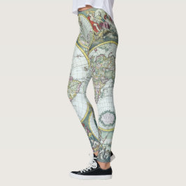
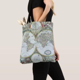
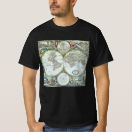
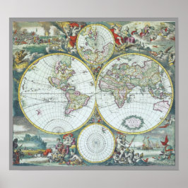
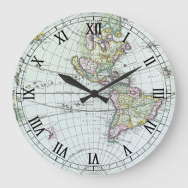
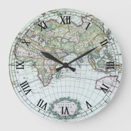
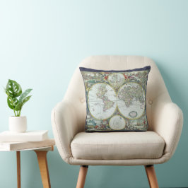
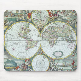
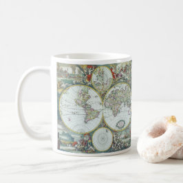
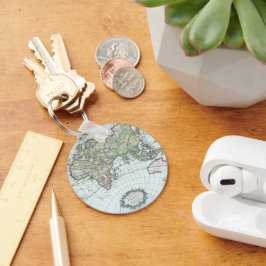
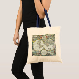
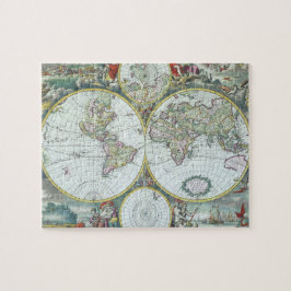
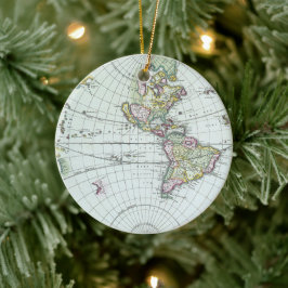
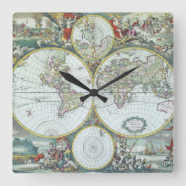
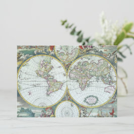
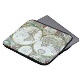
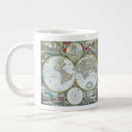
Antique World Map by Frederick De Wit, 1668
Vintage illustration antique world map by Frederick De Wit, 1668. Nova Totius Terrarum Orbis Tabula. The double hemispheres feature the island of California and shorelines of western Australia and New Zealand, Southeast Asia, and includes Terra Esonis, the mythical land bridge which virtually connects Japan and California. The scenes surrounding the map are by Dutch artist Romeyn de Hooghe and represent the four elements. Fire is shown by war and destruction; air by the heavens; earth by harvesting and husbandry; and water by ships, a spouting whale and mermaids. There are groups of figures between the hemispheres and polar projection maps are above and below the atlas. More designs and products available, please browse my store and email special requests to masterpiececafe@gmail.com
22 resultat
1700-tals Antik Världskarta, Frederick De Wit Kudde
Pris550,00 kr

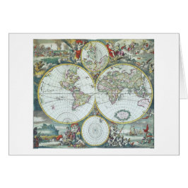
1700-tals Antik Världskarta, Frederick De Wit Hälsningskort
Försäljningspris 54,00 kr. Ursprungligt pris 60,00 kr.
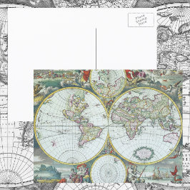

1700-tals Antik Världskarta, Frederick De Wit Inbjudningar
Försäljningspris 27,00 kr. Ursprungligt pris 35,00 kr.
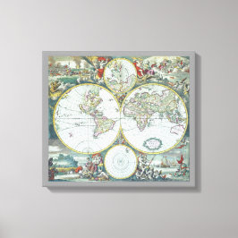
1700-tals Antik Världskarta, Frederick De Wit Canvastryck
Pris1 318,00 kr
Andra kollektioner ni kanske gillar av YesterdayCafe