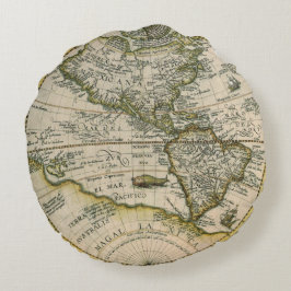
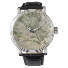
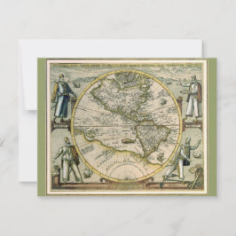
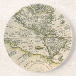
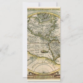
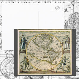
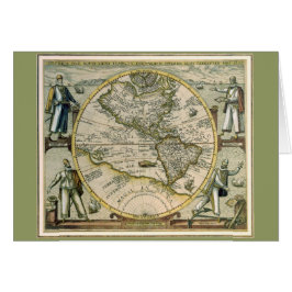
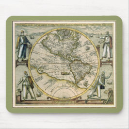
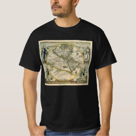
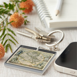
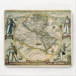
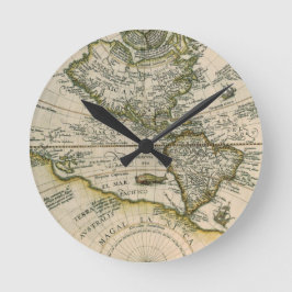
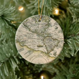
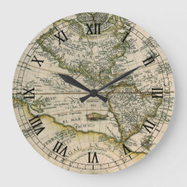
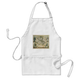
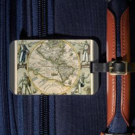
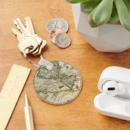
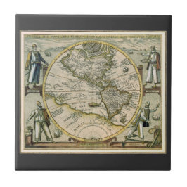
Map of the Americas by Theodorus de Bry, 1596
Vintage illustration antique world map featuring the Americas, 1596 by cartographer Theodorus de Bry (1528-1598). Theodore de Bry’s 1596 map, America sive Novus Orbis, America or the New World, identifies North America as “America Mexicana” and South America as “America Peruana.” These geographical names reflect the late sixteenth-century dominance of Spanish power in the Americas. Also featured are the Atlantic and Pacific oceans and Antarctica in the southern hemisphere. People surround the map, presumably four explorers reading maps to help the ships navigate and safely travel the seas. More designs and products available, please browse my store and email special requests to masterpiececafe@gmail.com
35 resultat
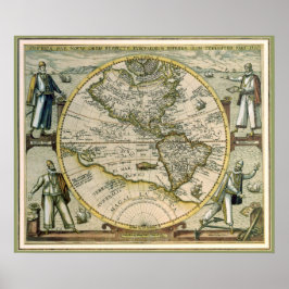
Antik karta, America Sive Novus Orbis, 1596 Poster
Pris568,00 kr
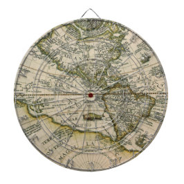
Antik karta, 1596, America Sive Novus Orbis Darttavla
Pris1 253,00 kr
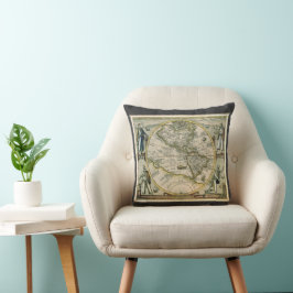
Antik Karta, 1596, America Sive Novus Orbis Kudde
Pris550,00 kr
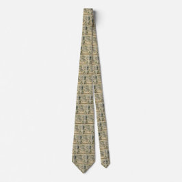
Antique Karta, America Sive Novus Orbis, 1596 Slips
Pris547,00 kr
Antique Karta, 1596, America Sive Novus Orbis
Pris43,00 kr
Antique Karta, 1596, America Sive Novus Orbis Hälsningskort
Försäljningspris 54,00 kr. Ursprungligt pris 60,00 kr.
Antik Karta, 1596, America Sive Novus Orbis Musmatta
Pris176,00 kr
Antique Karta, 1596, America Sive Novus Orbis
Pris259,00 kr
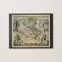
Antique Karta, 1596, America Sive Novus Orbis Pussel
Pris270,00 kr

Antik Karta, 1596, America Sive Novus Orbis Musmatta
Pris176,00 kr
Antik Karta, 1596, America Sive Novus Orbis Förkläde
Pris332,00 kr
Andra kollektioner ni kanske gillar av YesterdayCafe
Nyligen besökta produkter