Bordsbestick
Maryland Nautical Charts and Maps
Maryland nautical charts and maps collection contains mostly NOAA nautical charts. The original NOAA paper nautical charts cover the Maryland coast. However, these chats are being phased out by NOAA. Each nautical chart in this collection has been digitally altered and enhanced to achieve the best possible presentation for the store’s products. In some cases, the chart’s modifications include cropping the image, relocating the title, or removing the borders that contain navigation notes. These Maryland maps and charts are not suitable for navigation. However, they are well-suited for a number of nautical decor purposes including river house decor, beach house decor, and coastal living decor. The products in the collection make ideal house-warming gifts. Many of these products are ideal for living area decor, bathroom decor, and business decor.
4 resultat
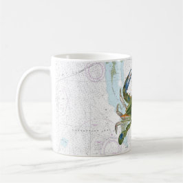
Blue Crab med Chesapeake Bay Nautical Chart Kaffemugg
Försäljningspris 209,00 kr. Ursprungligt pris 245,00 kr.
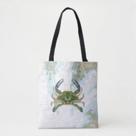
Blue Crab med Chesapeake Bay Nautical Chart Tygkasse
Pris379,00 kr
Andra kollektioner ni kanske gillar av NauticalCharts