North Carolina Nautical Charts and Maps
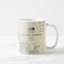
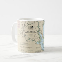
North Carolina nautical charts and maps collection contains mostly NOAA nautical charts. The original NOAA paper nautical charts cover the North Carolina coast. However, these chats are being phased out by NOAA. Each nautical chart in this collection has been digitally altered and enhanced to achieve the best possible presentation for the store’s products. In some cases, the chart’s modifications include cropping the image, relocating the title, or removing the borders that contain navigation notes. These North Carolina maps and charts are not suitable for navigation. However, they are well-suited for a number of nautical decor purposes including river house decor, beach house decor, and coastal living decor. The products in the collection make ideal house-warming gifts. Many of these products are ideal for living area decor, bathroom decor, and business decor.
14 resultat
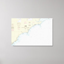
Cape Hatteras to Charleston Nautical Chart 11520 Canvastryck
Pris2 389,00 kr
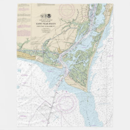
Nautiskt diagram 11537 över Kap Fear River Fleecefilt
Pris1 125,00 kr

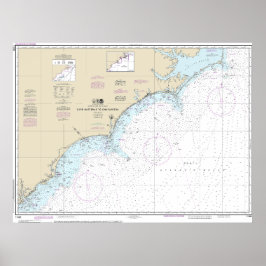
Nautiskt diagram 11537 över Kap Fear River Poster
Pris1 477,00 kr


Beaufort-inloppet och en del av Core Ljud Chart Fleecefilt
Pris1 125,00 kr


Beaufort-inloppet och en del av Core Ljud Chart Poster
Pris1 811,00 kr
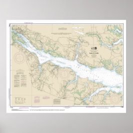
Pamlico River Nautical Chart 11554 Poster
Pris1 816,00 kr

Ocracoke Inlet och en del av Core Ljud Kudde
Pris514,00 kr
Andra kollektioner ni kanske gillar av NauticalCharts
Nyligen besökta produkter