Bordsbestick
Om
Welcome to Kingdom of Maps - a digital map shop and curated archive of cartographic history, reimagined for the modern world. Here, vintage maps aren’t just relics of the past; they’re visual stories, design elements, and conversation starters. Whether you're a history enthusiast, a traveler at heart, or a designer seeking timeless texture, you’ll find something here that speaks to your sense of place and time.
Each map in this collection is carefully restored from historical sources like 19th-century atlases, city plans, and exploration charts. I focus on clarity, authenticity, and high-resolution detail, ensuring every digital download is ready for printing, framing, or creative reuse. From antique city layouts to forgotten borderlines, these maps offer a glimpse into how the world once saw itself — and how far we've come.
Why digital? Because flexibility matters. You get instant access, no shipping delays, and the freedom to print at any size or use in your own projects. Whether you're decorating a study, crafting a game, or building a brand with vintage flair, these files are yours to adapt.
I’m passionate about maps not just as artifacts, but as tools for storytelling. My background in digital design and pixel-perfect restoration means every file is optimized for both aesthetic and technical quality. I also welcome custom requests — if you're looking for a specific region, era, or style, I’m happy to explore the archives with you.
New maps are added regularly, so check back often to discover fresh finds from the archives. Follow the shop to stay updated on the latest releases, and don’t hesitate to reach out with ideas or questions. Your next favorite map might be just around the corner.
Thanks for stopping by. Let these maps guide your creativity, spark your curiosity, and add a layer of depth to your space or project. The past is full of stories - and now, they’re just a download away.
Mer
Senaste produkt som du skapade
See alla produkter
Antik Magdeburg-karta, Vintage tysk kartografi Poster
Pris1 651,00 kr
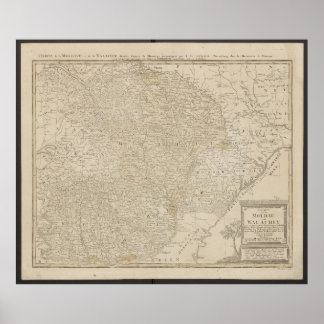
Karta över Moldavien och Valakiet från 1785 Poster
Pris1 476,00 kr
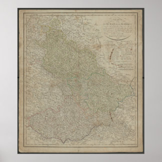
Antik 1799 Karta över Schlesien & Mähren, Historis Poster
Pris1 424,00 kr
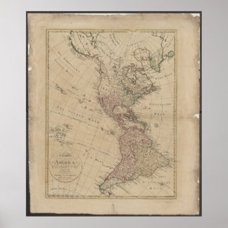
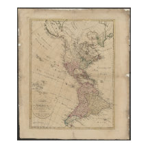
1796 Nord- och Sydamerika-karta från Tyskland Poster
Pris1 449,00 kr

Vintage 1757 karta över Tyskland, historiska Tyskl Poster
Pris1 703,00 kr
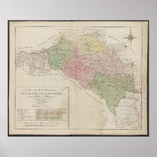
1780 Karta över kungarikena Galicien och Lodomeria Poster
Pris1 502,00 kr
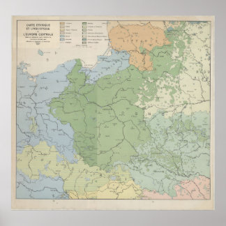
1937 Språklig karta över Centraleuropa och Östeuro Poster
Pris1 294,00 kr

Tjeckiskt karttryck, Vintage Böhmen-plan, väggkons Poster
Pris1 411,00 kr
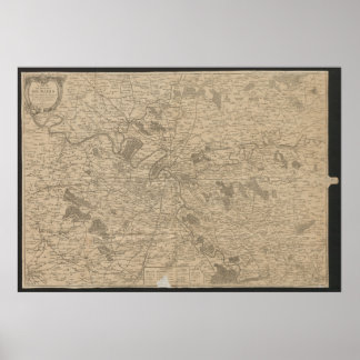
1780 Karta över Paris, Historisk Stadskarta, Antik Poster
Pris1 783,00 kr
Kollektioner
Se alla kollektioner
Europe Maps
5 produkter
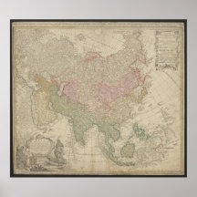
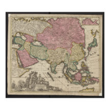

Asia Maps
2 produkter
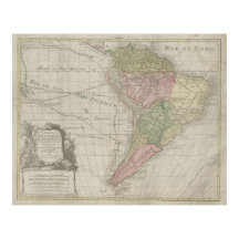
Latin America Maps
1 produkt
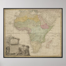
Africa Maps
1 produkt
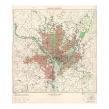
USA Maps
2 produkter
Poland Maps
1 produkt
Germany Maps
23 produkter
Produkter
See alla produkter
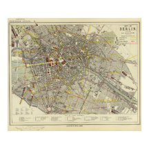
Berlin 1850 Karta, Historisk Tysk Stad Illustratio Poster
Pris1 622,00 kr
1947 Dresden stadsplan, tysk urban design Poster
Pris1 406,00 kr
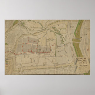
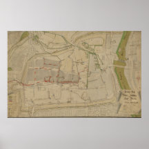
Plan över vattenförsörjningssystemet i Görlitz, 17 Poster
Pris1 806,00 kr
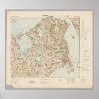
Gammal 1941 Köpenhamnskarta, Danmark Poster
Pris1 385,00 kr
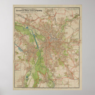
E. Gaebler's Grosser Plan von Leipzig (1943) Poster
Pris1 535,00 kr
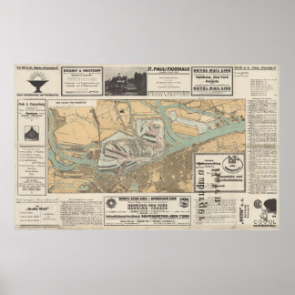
Gateway to the World: Hamburgs hamn Karta Poster
Pris1 743,00 kr

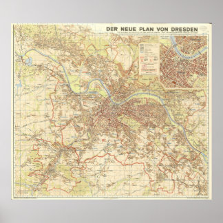
Vintage 1923 plankarta över Dresden Tyskland Poster
Pris1 608,00 kr
Antik Magdeburg-karta, Vintage tysk kartografi Poster
Pris1 651,00 kr
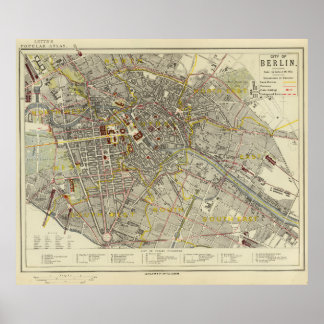
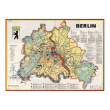
Berlin 1883 Historisk Karta – Letts Popular Atlas Poster
Pris1 471,00 kr
SKAPARE